antik.it/Antique-globes-world-maps/8047-Terrestrial-Globe/
Code 8047
EUR 1500.00
In stock
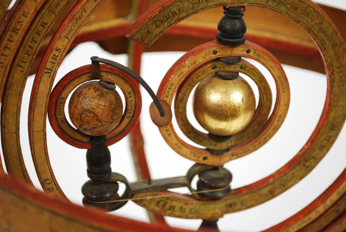
1731165068Code 8047 Terrestrial GlobeTerrestrial globe published in the 1920s
by the French geographer J. Forest; in addition to the territorial map, the ocean currents and the main trade routes of the period are depicted. Sphere in papier-mâché and plaster covered with segments of watercolored engraving paper on copper plate, base in turned and ebonized wood. Height 46 cm – 18.1 inches, sphere diameter 23 cm – 9.1 inches. In good condition, signs of use.
J. Forest made a wide variety of globes in the late 19th and early 20th centuries, mostly for educational use. His varied production included tabletop globes, some on turned and ebonized wood bases, floor globes, and innovative globes, such as those featuring mechanized rotating bases, or globes that included lighters. In the 20th century Forest produced lighted globes with modern aluminum bases.
The meridian of Paris was defined on 21 June 1667 by the mathematicians of the Académie, but the measurement of the meridian was only completed in 1718 by Giovanni Domenico Cassini and his son Jacques Cassini. In 1740, César-François Cassini rectified the trace and then the meridian was measured again from 1792 to 1798 by Jean-Baptiste Joseph Delambre and Pierre Méchain, as a basis for establishing the exact length of the meter in 1799. The Paris meridian was abandoned in favor of the Greenwich meridian during the Washington International Conference of 1884. Some of the reasons were that the antipodes of Greenwich there were almost no inhabited lands, the British promise to adopt the metric system in exchange for the French renunciation of the Paris meridian, and the fact that at the time the majority of nautical cartography was of English origin and therefore adopting a meridian other than Greenwich would have forced the replacement of a greater number of nautical charts. In France the Greenwich meridian was officially adopted only in 1911.
The first known terrestrial globe is the one attributed by Strabo, historian and geographer, to the Greek Crates of Mallo (around 150 BC). The first globes at the beginning of the 16th century. they were built under the pressure of great geographical explorations and immediately began to be used for educational purposes at princely courts, monasteries and colleges; the globe then begins to conquer university environments and high and low schools. In the 18th century, the official geographer of Louis concave surface of the sky with its constellations) and a terrestrial globe (which instead represents the surface of the Earth with the seas, islands, rivers, cities, etc.) and the techniques for making them: two pressed and shaped papier-mâché hemispheres on or inside a hemispherical mold, dried and strengthened inside with a wooden board, then glued and covered with a thin layer of plaster on which the spindles of the globe of areas between two meridians, generally twelve, were glued in paper previously printed by engraving on copper plate and colored, each covering 30 degrees of longitude. It will be with the nineteenth century of great trade, circulation and the introduction of compulsory schooling that the desire to know distant countries will increase, making the old method of constructing globes inadequate. Spindles printed from engraved plates are no longer enough and the only real resource becomes lithography through which it is possible to promptly print and update maps which, with the growth of geographical discoveries made in various countries, become obsolete more and more rapidly.
FAQ
Do you provide an authenticity certificate/expertise?
Of course! The legislative decree n. 42/2004 stipulates that who sells works of art or historical and archaeological items has the obligation to deliver to the purchaser the documents attesting to the authenticity of the object, or at least to submit the documents relating to the probable attribution and origin. Antik Arte & Scienza provides an expertise (as warranty) that contains a description, period and assignment or the author, if known, of the item.
How can I pay?
Secure payments by PayPal, credit card or bank transfer.
What are the shipping terms and the delivery schedule?
Shipping by DHL or UPS is free (but if we are shipping to a country non-EU remember that any taxes and customs duties are on your expense), and items will be sent just after receiving of payment.
Italy: delivering on the average in 24 h.
Europe: delivering on the average in 2/3 weekdays.
Other countries: delivering on the average in 5 weekdays; custom duties charged to the buyer.
Is shipping insured?
Of course! Free insurance by Lloyd's London that covers almost all destinations.
If I change my mind, can I return the item?
Of course! (see our general terms for more information).
e-Shop
Antique globes-world maps
Code 8047 Terrestrial Globe
Antik Arte & Scienza sas di Daniela Giorgi - via S. Giovanni sul Muro 10 20121 Milan (MI) Italy - +39 0286461448 - info@antik.it - www.antik.it - Monday-Saturday: 10am-7pm