antik.it/Antique-globes-world-maps/8217-Terrestrial-Globe/
Code 8217
EUR 1800.00
In stock
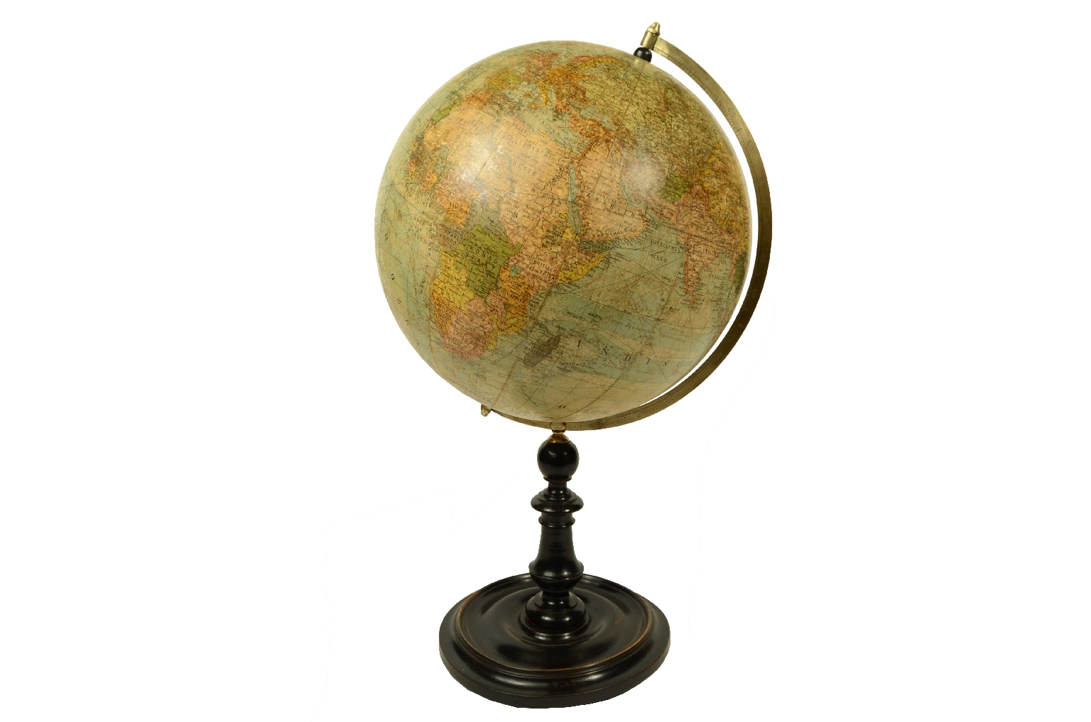
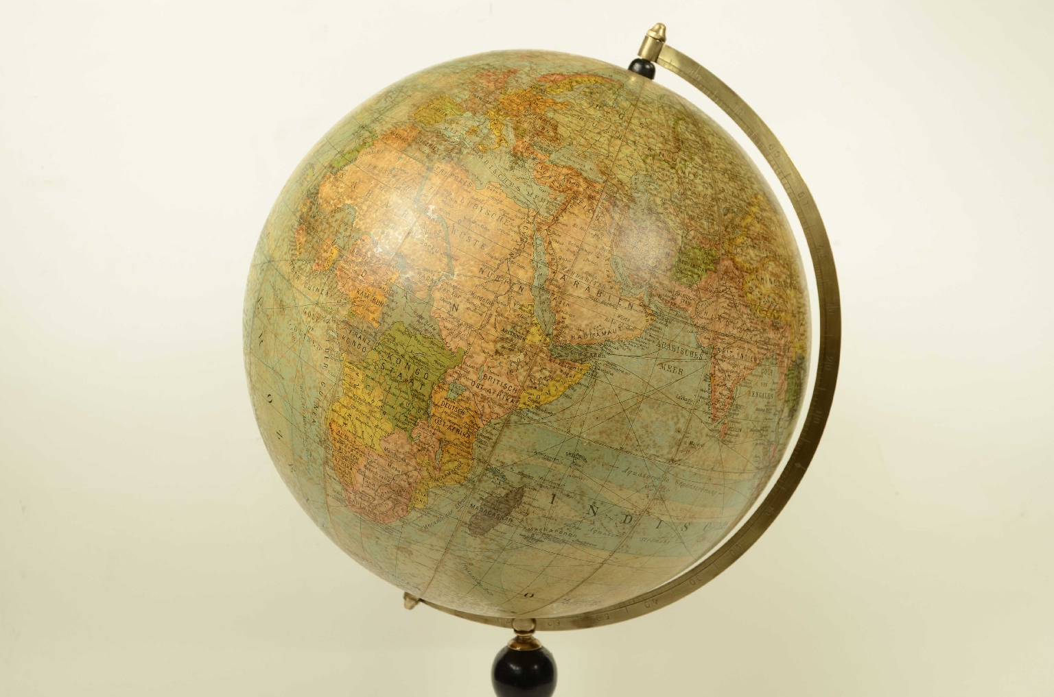
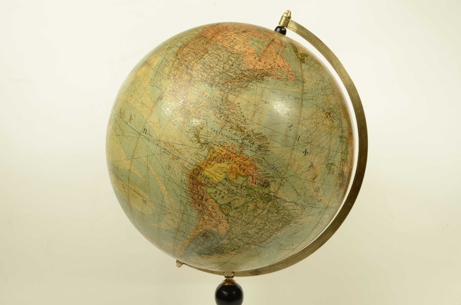
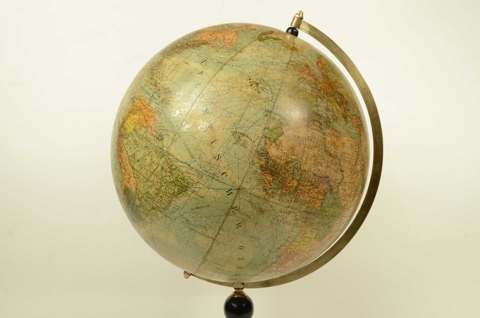
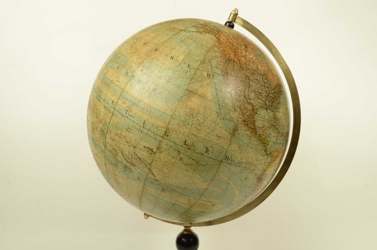
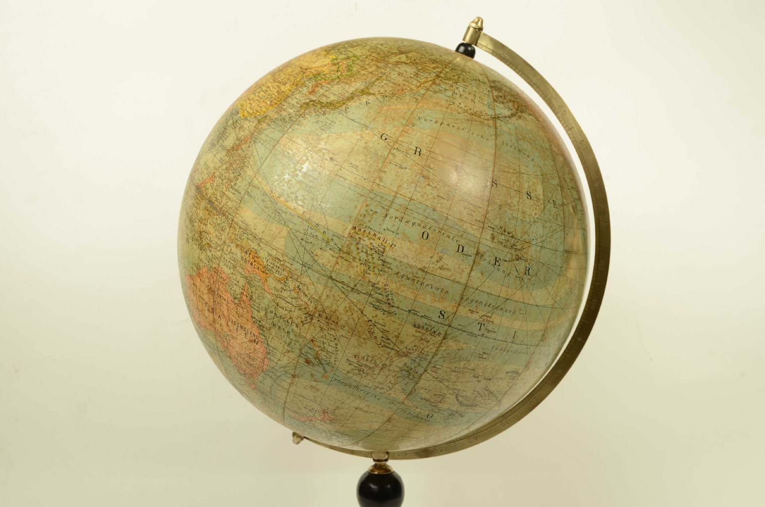
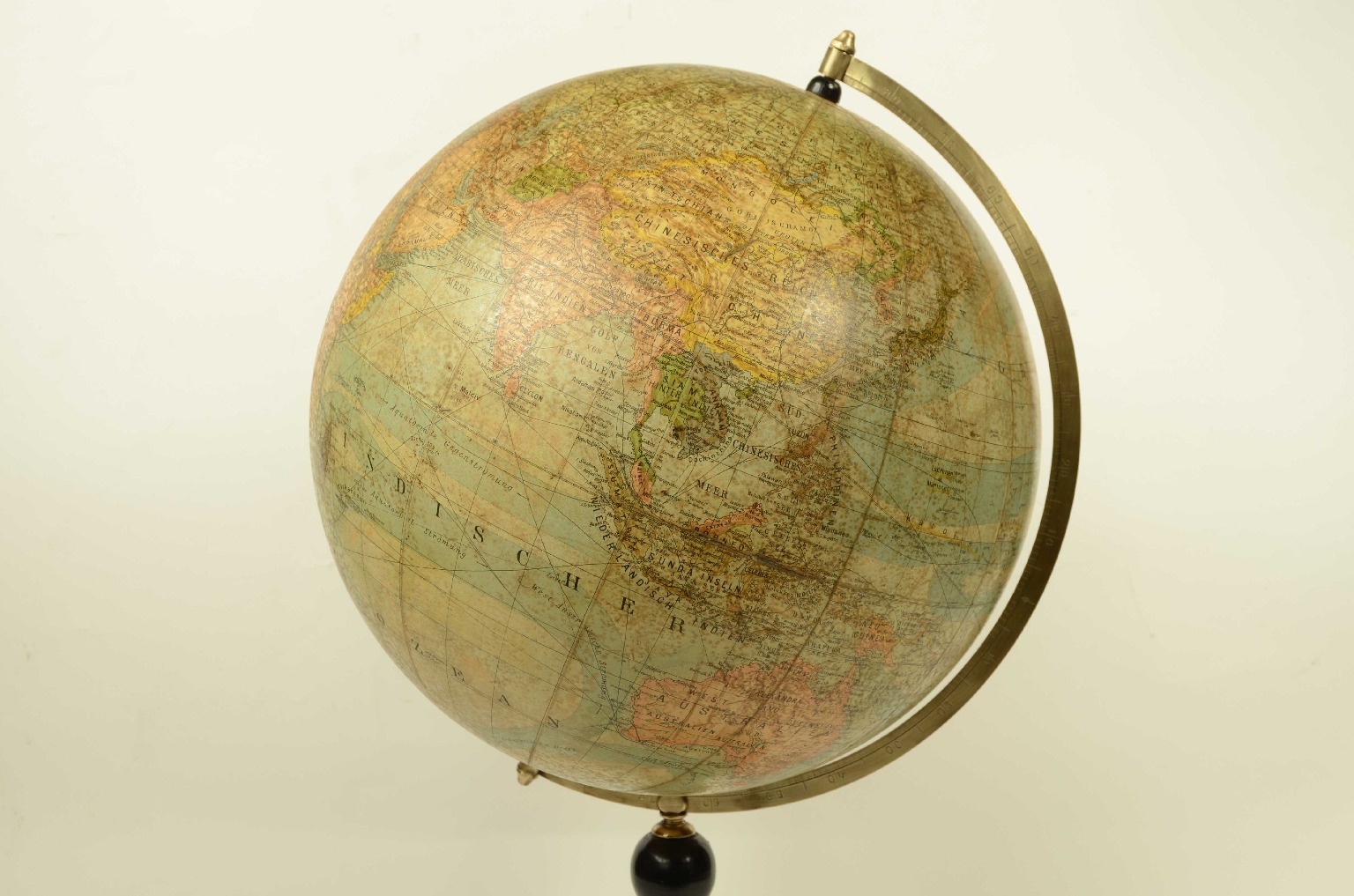
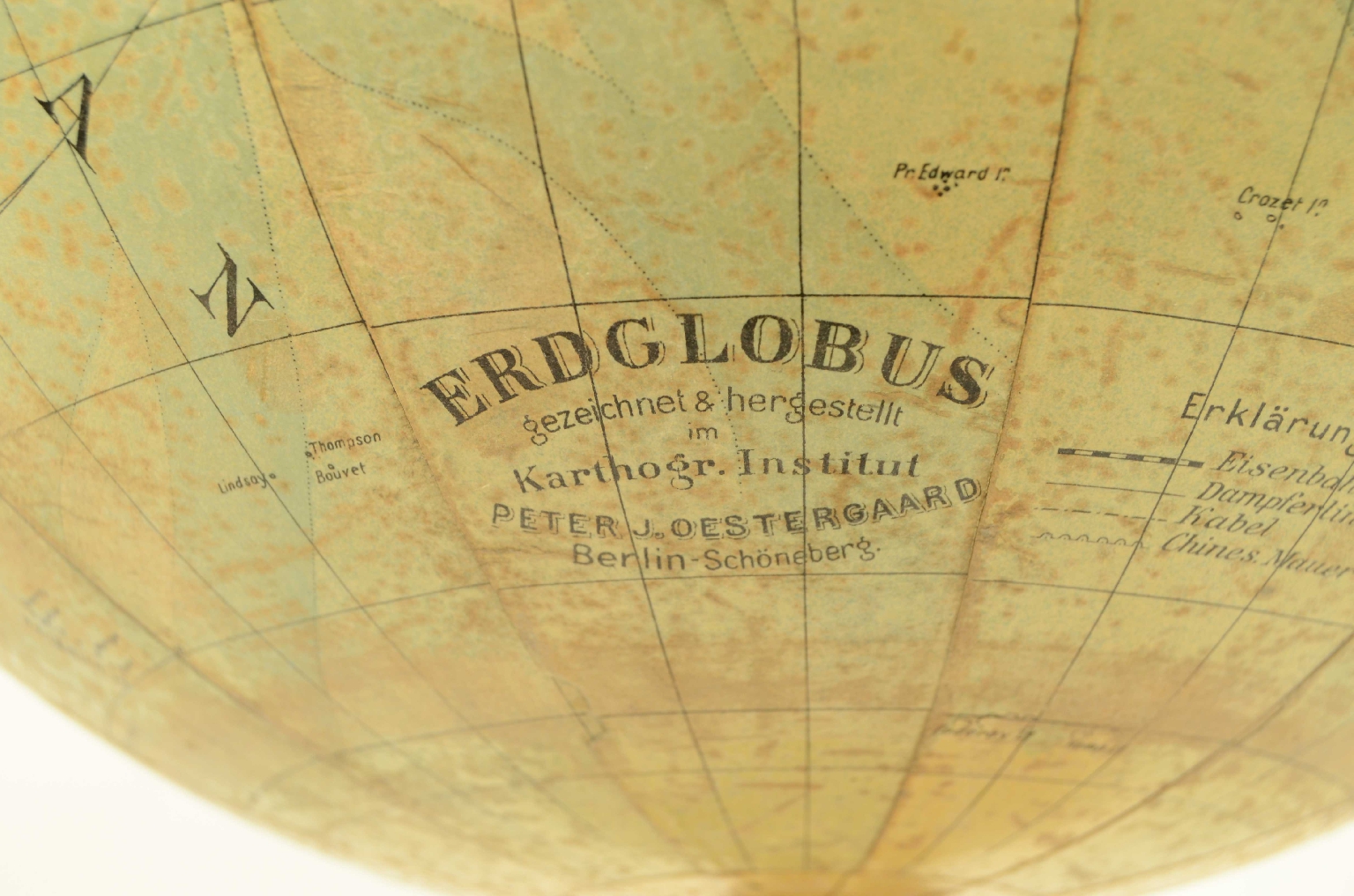
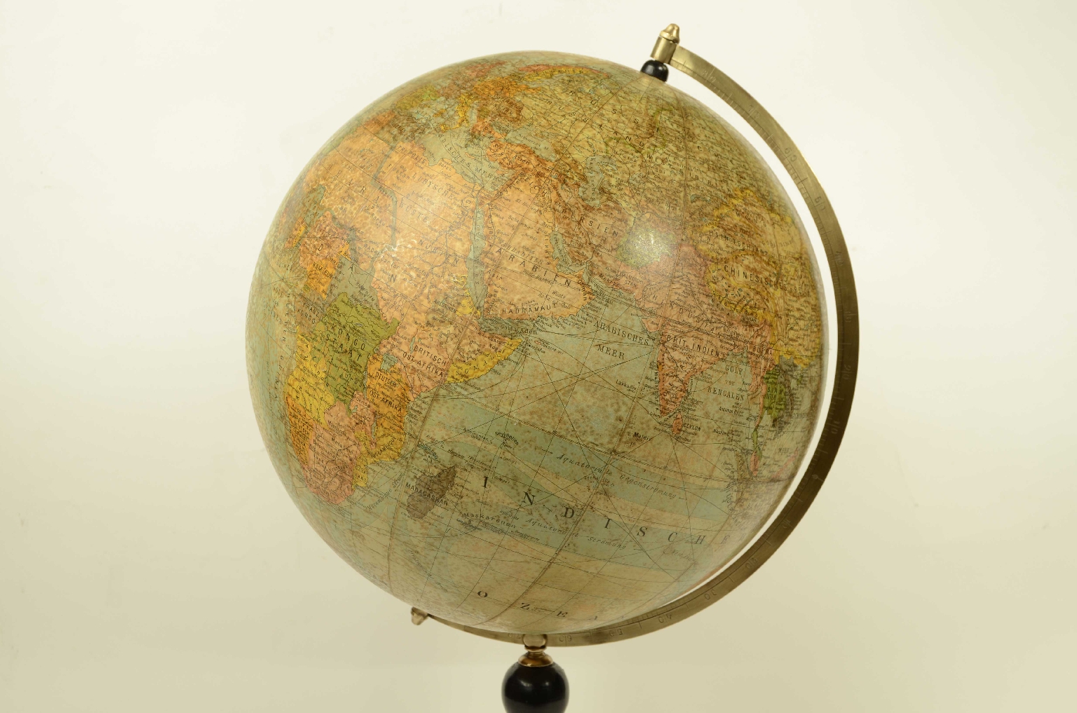
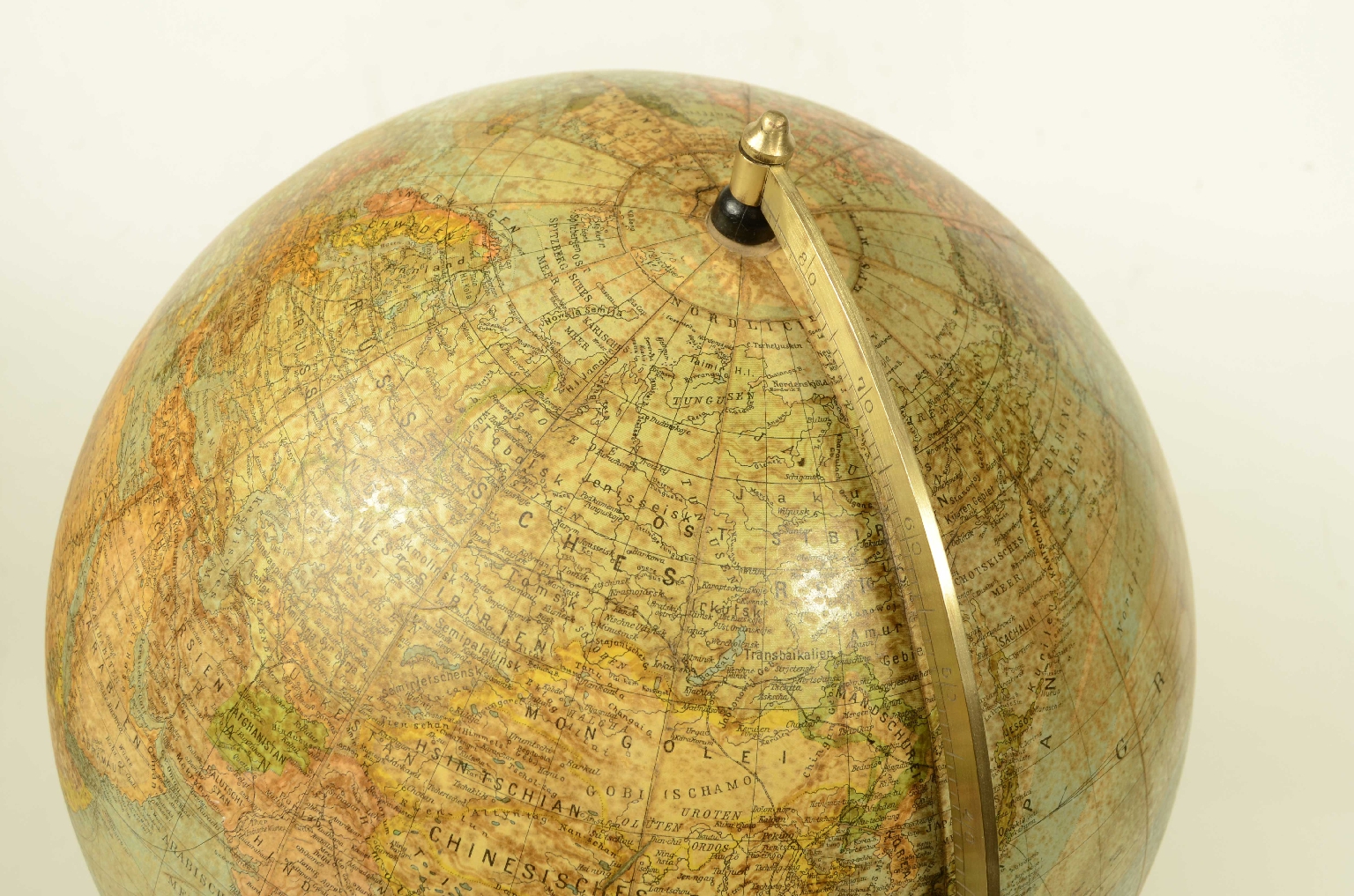
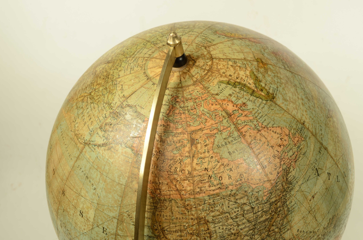
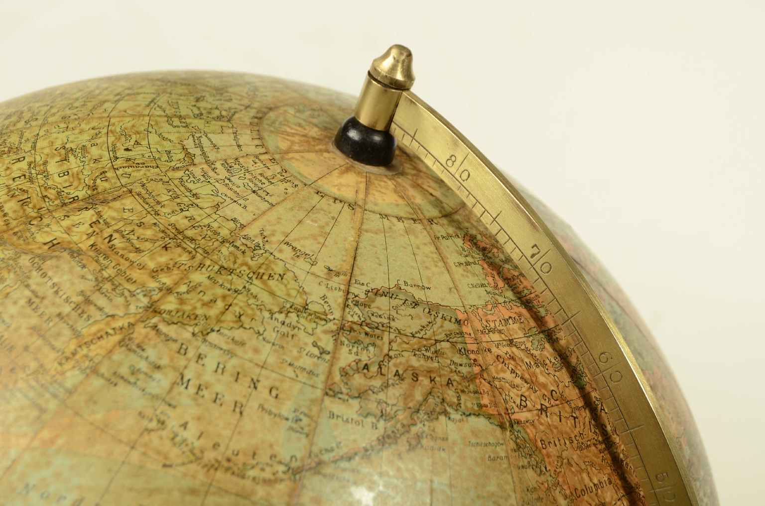
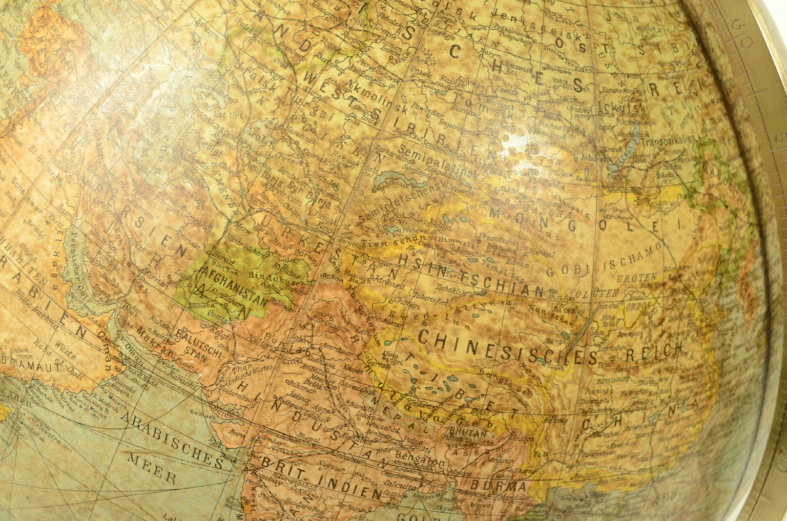
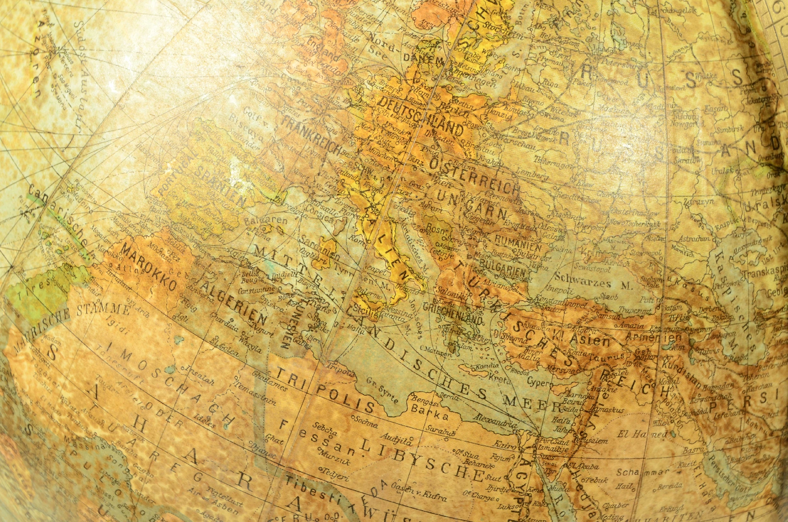
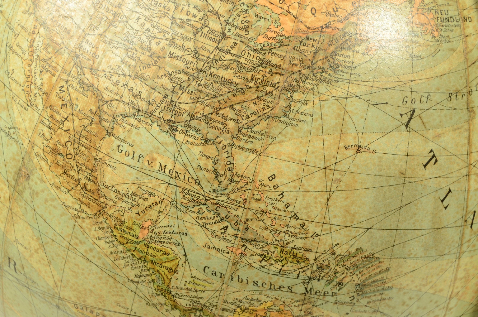
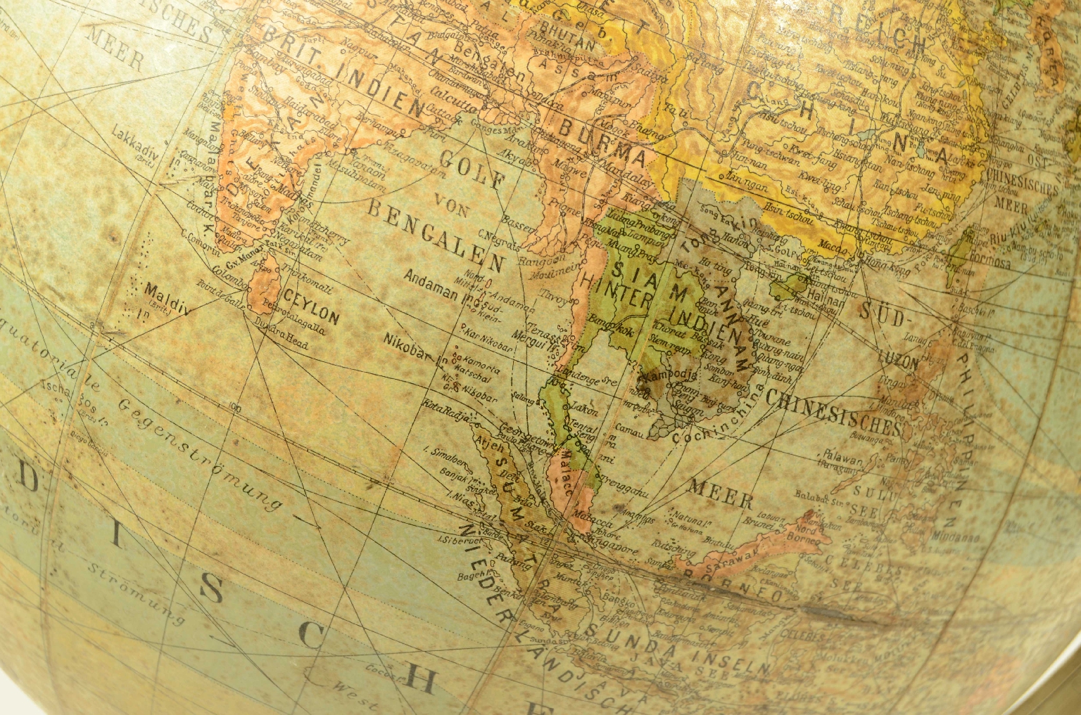
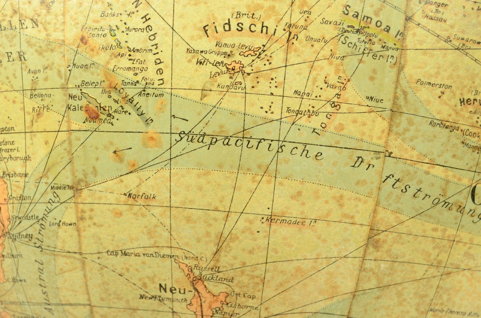
1765126223Code 8217 Terrestrial GlobeTerrestrial globe published in the second half of the 19th century by the Peter J. Oestergaard Cartographic Institute in Berlin.
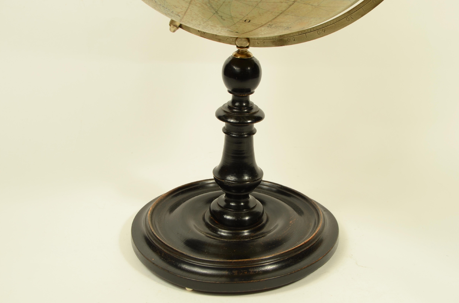
Papier-mâché sphere covered with 12 spindles and two polar caps printed on lithographically printed paper, turned and ebonized wooden base complete with an engraved brass meridian circle.
The globe shows the political boundaries of the time, cities, railways, sea routes, and rich geographical details.
Good condition, signs of oxidation, very good legibility.
Dimensions: 33 x 62 cm – 13 x 24.5 in
Peter J. Oestergaard was a cartographer and globe maker active in Berlin between the late nineteenth and early twentieth centuries. He directed the "Karthographisches Institut Peter J. Oestergaard" and was at the forefront of what became Columbus Verlag in 1909, later continued by family members such as Paul Oestergaard. His significance lies in the introduction of "popular" papier-mâché globes, which were more affordable than traditional plaster globes and designed for schools and families, yet still highly detailed geographically. His products helped transform the globe from a luxury item to a popular educational tool.
Humans have always sought to understand the world around them and have used every means at their disposal to measure the space around them, continually expanding their knowledge. The conditions that allowed humans to develop models of the world and space likely arose only after thought had developed to the point of understanding that natural processes could be represented through models. Already in ancient Greece, naturalists had come to understand the Earth's spherical shape and its suspended position in space.
The first recorded globe is the one attributed by Strabo, historian and geographer, to the Greek Crates of Mallo (c. 150 BC).
It was with the nineteenth century, marked by widespread trade, circulation, and the introduction of compulsory education, that the desire to explore distant lands increased, making the old method of globe construction inadequate. Printed globes from engraved plates were no longer sufficient, and the only real resource became lithography, which made it possible to print and promptly update maps that, with the growth of geographical discoveries in various countries, became increasingly obsolete.
FAQ
Do you provide an authenticity certificate/expertise?
Of course! The legislative decree n. 42/2004 stipulates that who sells works of art or historical and archaeological items has the obligation to deliver to the purchaser the documents attesting to the authenticity of the object, or at least to submit the documents relating to the probable attribution and origin. Antik Arte & Scienza provides an expertise (as warranty) that contains a description, period and assignment or the author, if known, of the item.
How can I pay?
Secure payments by PayPal, credit card or bank transfer.
What are the shipping terms and the delivery schedule?
Shipping by DHL or UPS is free (but if we are shipping to a country non-EU remember that any taxes and customs duties are on your expense), and items will be sent just after receiving of payment.
Italy: delivering on the average in 24 h.
Europe: delivering on the average in 2/3 weekdays.
Other countries: delivering on the average in 5 weekdays; custom duties charged to the buyer.
Is shipping insured?
Of course! Free insurance by Lloyd's London that covers almost all destinations.
If I change my mind, can I return the item?
Of course! (see our general terms for more information).
e-Shop
Antique globes-world maps
Code 8217 Terrestrial Globe
Antik Arte & Scienza sas di Daniela Giorgi - via S. Giovanni sul Muro 10 20121 Milan (MI) Italy - +39 0286461448 - info@antik.it - www.antik.it - Monday-Saturday: 10am-7pm